Logo

Contact Phone

Our Office are open 07AM - 22PM

Monday - Friday

S-100 viewer

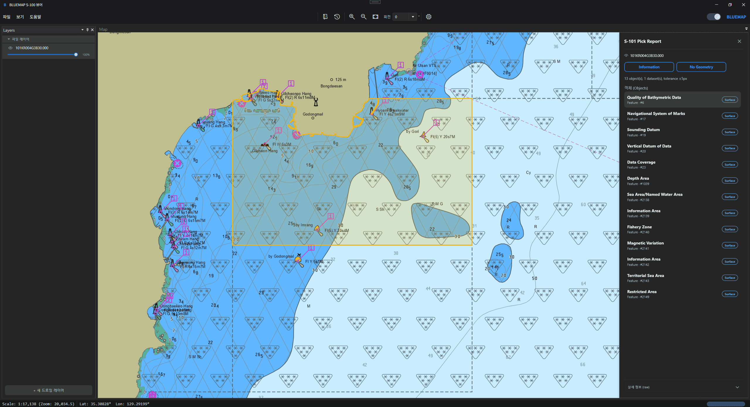
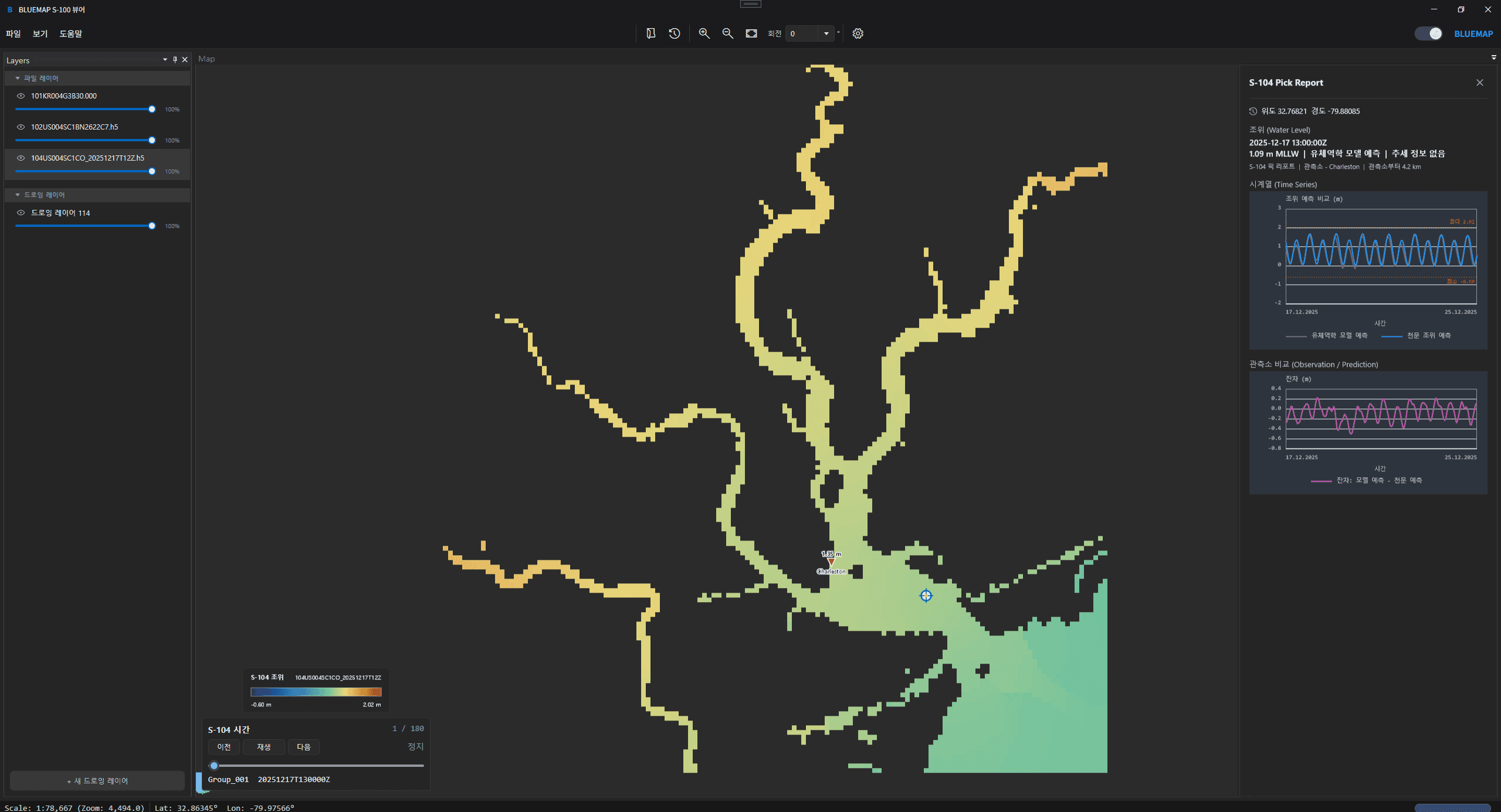
A desktop viewer for visualizing next-generation maritime datasets, including electronic charts, bathymetry, water levels, and navigational information.
Image
Adesktopviewerforvisualizingnext-generationmaritimedatasets,includingelectroniccharts,bathymetry,waterlevels,andnavigationalinformation.
Image
Detail 01 Title

Detail 01 Description

Detail 02 Title

Detail 02 Description

Project - minimal design shift
Image
Detail 03 Title

Detail 03 Description

Detail 04 Title

Detail 04 Description
Image
Project - minimal design shift
Detail 05 Title

Detail 05 Description

Detail 06 Title

Detail 06 Description

Image

FAQs

How is the S-100 Viewer different from a general GIS viewer?

Unlike general-purpose GIS viewers, BLUEMAP S-100 Viewer is specialized in IHO S-100 data structures and portrayal rules. It processes and visualizes marine data based on S-100 components such as the Feature Catalogue and Portrayal Catalogue.

Which S-100 data products are supported?

Can the Viewer be used in closed or network-separated environments?

Can the Viewer be customized for specific organizations or projects?

Advancing maritime digitalization through
S-100 standards and technology.

+82 42-710-7022

Logo

Advancing maritime digitalization through
S-100 standards and technology.

+82 42-710-7022

Logo

Advancing maritime digitalization through
S-100 standards and technology.

+82 42-710-7022

Logo