Logo

Contact Phone

Our Office are open 07AM - 22PM

Monday - Friday

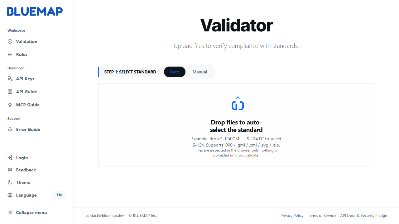
S-100 Validation Check

A validation service that automatically checks maritime datasets for geometry, attributes, references, catalogue rules, and product-specific data quality.

Image
Avalidationservicethatautomaticallychecksmaritimedatasetsforgeometry,attributes,references,cataloguerules,andproduct-specificdataquality.
Image
Detail 01 Title

Detail 01 Description

Detail 02 Title

Detail 02 Description

Project - style focused narrative
Image
Detail 03 Title

Detail 03 Description

Detail 04 Title

Detail 04 Description
Image
Project - style focused narrative
Detail 05 Title

Detail 05 Description

Detail 06 Title

Detail 06 Description

Image

FAQs

How is the S-100 Viewer different from a general GIS viewer?

Unlike general-purpose GIS viewers, BLUEMAP S-100 Viewer is specialized in IHO S-100 data structures and portrayal rules. It processes and visualizes marine data based on S-100 components such as the Feature Catalogue and Portrayal Catalogue.

Which S-100 data products are supported?

Can the Viewer be used in closed or network-separated environments?

Can the Viewer be customized for specific organizations or projects?

FAQs

How is the S-100 Viewer different from a general GIS viewer?

Unlike general-purpose GIS viewers, BLUEMAP S-100 Viewer is specialized in IHO S-100 data structures and portrayal rules. It processes and visualizes marine data based on S-100 components such as the Feature Catalogue and Portrayal Catalogue.

Which S-100 data products are supported?

Can the Viewer be used in closed or network-separated environments?

Can the Viewer be customized for specific organizations or projects?

FAQs

How is the S-100 Viewer different from a general GIS viewer?

Unlike general-purpose GIS viewers, BLUEMAP S-100 Viewer is specialized in IHO S-100 data structures and portrayal rules. It processes and visualizes marine data based on S-100 components such as the Feature Catalogue and Portrayal Catalogue.

Which S-100 data products are supported?

Can the Viewer be used in closed or network-separated environments?

Can the Viewer be customized for specific organizations or projects?